📊 Full opportunity report: The City That Watches Itself: The Living Digital Twin, and the God’s-Eye View We’re Building on ThorstenMeyerAI.com — validation score, market gap, and execution plan.

Get school and study supplies delivered free — and shop member deals
- Fast, free delivery on millions of items
- Access to Prime Big Deal Days deals on October 6–7
- Prime Video, Amazon Music and more included
TL;DR
Cities are increasingly building live, data-driven digital twins that mimic their physical infrastructure and activity in real time. These systems combine sensors, satellite data, and AI to improve planning and response but also raise significant surveillance concerns. The development is advancing rapidly, with key questions about governance and security remaining.
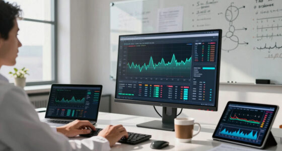
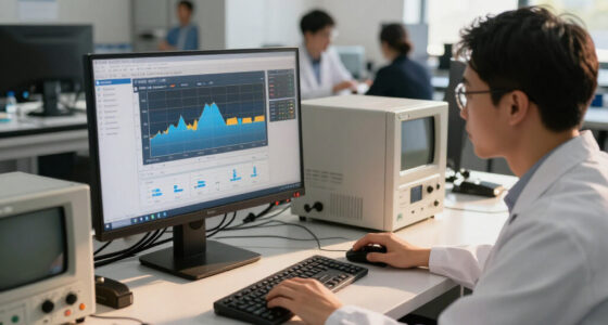
Urban digital twins are evolving into dynamic, real-time virtual replicas of cities, integrating data from sensors, satellite imagery, and AI. These systems now enable cities to monitor, analyze, and simulate urban activity with unprecedented detail, transforming urban planning and management.
The core of this development is the integration of wide-area motion imagery (WAMI) sensors, all-weather radar, and advanced AI capable of understanding complex data streams. Cities like Singapore, Helsinki, and Las Vegas are already operating versions of these digital twins, which update continuously and can be queried in natural language.
These systems allow city officials to rewind time, track individual vehicles, and simulate scenarios such as infrastructure failures or environmental changes. The fusion of multiple sensors provides a comprehensive, all-weather view, overcoming previous limitations of optical sensors alone. The AI component enables the city model to interpret and respond to queries, transforming it into an informational resource for urban decision-making.
However, this technological convergence raises concerns about surveillance and sovereignty. While the benefits include improved planning, resource management, and disaster response, the potential for misuse and loss of control over sensitive infrastructure is significant, especially if these systems are operated by foreign entities or governments.
The city that watches itself: the living digital twin, and the god’s-eye view we’re building
Soon most cities will exist twice — once in concrete, once as a live data model you can rewind, simulate, and question in plain language. Persistent sensing + frontier AI turn the planner’s digital twin into an oracle. The most useful thing we’ve built — and the most powerful surveillance instrument. Both at once.
- Plan better — cities & rural: traffic, zoning, energy, land use
- Emergency response — route crews, one live picture, ~50% faster
- Disaster resilience — simulate, track live, assess damage in hours
- Mass surveillance — track everyone, retroactively, forever
- Pattern-of-life — AI links movements, infers associations
- Social control — no warrant, no suspicion (cf. Baltimore, 2021 ruling)
We’re building a city that watches itself, remembers everything, and can be asked anything. The technology won’t choose between saving lives and ending privacy — we will, through the rules we write now, while the twin is still under construction and the defaults haven’t yet hardened into permanence. WAMI and the living twin open our lives to a view from the heavens that, from the dawn of civilization until a heartbeat ago, was reserved for gods and stars. The question is no longer whether we can see everything — it’s who gets to look, and who watches the watchers.
Implications of Self-Monitoring Cities for Society
The development of digital twins with integrated AI and sensors could influence urban management by providing more data-driven insights. Nonetheless, they also present challenges related to privacy, surveillance, and control of critical infrastructure. The ability to monitor urban activity in real time requires careful consideration of ethical and security implications.
As an affiliate, we earn on qualifying purchases.
Technological Foundations and Early Implementations of Urban Digital Twins
The concept of digital twins originated in manufacturing and engineering but has expanded to urban environments over the past decade. Singapore’s Virtual Singapore, launched after flooding crises in 2012, is a leading example, modeling every building, road, and utility in three dimensions with live overlays. Other cities like Helsinki and Las Vegas have operational city twins used for planning and resource management.
The recent integration of WAMI sensors, capable of tracking all open movement across large areas, and synthetic-aperture radar, which provides all-weather imaging, marks a significant technological development. These advancements enable continuous, detailed, and accurate city models that can be queried in natural language thanks to frontier AI models like GPT-5.6. The current focus is on expanding these capabilities and understanding their implications for governance and security.
“The convergence of sensors, AI, and real-time data enables cities to develop more comprehensive digital representations, supporting urban management and planning.”
— Thorsten Meyer, AI researcher
As an affiliate, we earn on qualifying purchases.
Unresolved Issues in City Digital Twin Deployment
Questions remain regarding the extent of adoption, control mechanisms, and privacy protections. The security of data and the influence of foreign entities over critical infrastructure are ongoing concerns. Additionally, legal and ethical frameworks are still being developed to address these issues.
As an affiliate, we earn on qualifying purchases.
Next Steps for Developing and Regulating Digital City Twins
Further pilot projects are expected to expand the capabilities of digital twins. Policymakers and urban planners will need to develop regulations that balance technological innovation with privacy and security considerations. International cooperation and standards may also be established to guide the responsible use of these systems.
As an affiliate, we earn on qualifying purchases.
Key Questions
What is a digital twin in a city context?
A digital twin is a real-time virtual replica of a city that integrates data from sensors, satellites, and AI to monitor, simulate, and manage urban environments.
How does AI enhance city digital twins?
AI enables the twin to interpret complex data, answer natural language queries, simulate scenarios, and provide insights that support decision-making.
What are the main risks associated with these systems?
Risks include potential privacy breaches, increased surveillance, hacking vulnerabilities, and loss of control over critical infrastructure if operated by untrusted entities.
Are there legal frameworks regulating these systems?
Legal and ethical frameworks are still being developed, with regulations varying across jurisdictions. International standards are also in progress.
Will this technology replace traditional city planning?
It is expected to complement existing planning processes by providing enhanced data and predictive capabilities, rather than replacing human judgment entirely.
Source: ThorstenMeyerAI.com
Halloween Picks
halloween
As an affiliate, we earn on qualifying purchases.